The Day the Island Shook

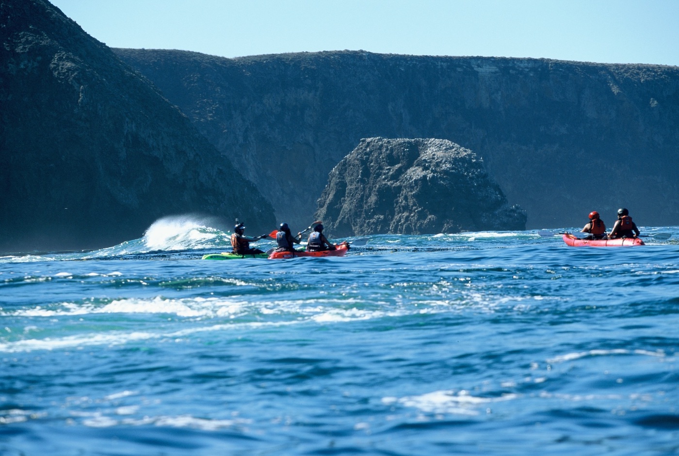
It started out just like any other day that I lead a kayak tour on Santa Cruz Island; get folks dialed in with their paddling gear and a kayak briefing before launching them off the beach at Scorpion Anchorage.

Spring time on the islands is a dual-edged sword; rolling green marine terraces, island wildflowers, and plenty of kayaking trips. However, it’s also the toughest, most challenging time to paddle out there. Residual winter swells combo up with perpetual northwest winds with lots of days blowing a gale. A lot of those days don’t allow access into the sea caves, the main draw for folks traveling to one of the least-visited National Parks in North America.
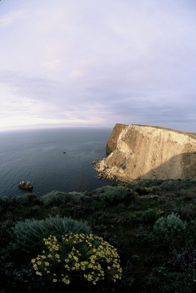
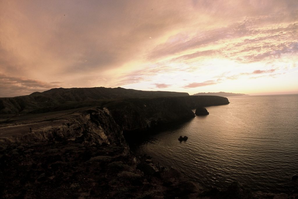
Not this day, though. Paddling conditions were nice on April 10, calm, glassy water, no swell, and no winds. That was until 12:30 pm. Always anticipating the worst wind conditions, I decided to shoot my group up to Cavern Point to beat any northwest wind that might increase in the afternoon. After that, we would work our way back to the southeast.
I had 13 folks and a brand-new assistant guide with me. As always, I staged everyone away from the edges of the cliffs. I never know when some rock fall may occur. Like all the islands, the rock is volcanic with multiple, countless seeps. It is weather-beaten and heavily wave-battered. The rock is always brittle. I’ve seen seabirds dislodge rock and send it falling into the water.
As soon as we pulled into Cavern Point and its sheer 200-foot-tall cliffs, the rock came down on the west wall. Rock fall out there picks up steam, big boulders hitting ledges and hurdling outward. In this instance, there was a lot of tonnage coming down, but it was the sound that made it so impressive.
Needless to say, by the looks on everyone’s faces, they were all a little rattled to say the least. However, once the slide finished, no one blinked when I said we’re still going inside Cavern Point Cave. At that point, I didn’t know a 5.3-magnitude earthquake had occurred on the south side of the largest, most diversified island off the coast.
I took everyone the entire 360 feet inside the cave. However, on the exit I paddled out first and kept an eye on the cliffs above. From there, I waved everyone out of the dank grotto. That’s when I heard lots of chatter on my handheld radio about multiple rock slides in various locations around the windswept isle. That’s when I knew it was an earthquake.

Everyone was notified on the water with the park ranger scurrying across the southeast end of the island making certain all day trippers and campers were accounted for. They were. There was talk of aftershocks and even a tsunami, but after fires, mudslides, and an eye-opening earthquake, maybe a tsunami is all that’s left?
Later that day, I went for a run over to Yellow Banks on the southeast tip of the island. I stopped at the historic satellite ranch house like I always do and noticed seismic damage to the face of the building that was constructed in 1889. Over two of the doors facing out toward the dry creek-bed, lots of plaster had come down and some minor fracturing was visible above. Everything else was status quo, though. A mating pair of endemic island scrub jays crossed beaks in a dead fruit tree leftover from the ranching era. A pair of island foxes sunned themselves on the bank of the dry creek-bed and barely paid any attention to me as I continued toward the overlook at Yellow Banks.
Rock fall is always on my mind when paddling around Anacapa and Santa Cruz Islands. I’ve only been struck once by a golf ball-sized rock on the shoulder. It hit the padded strap on my personal flotation device (pfd) dislodged by a pelagic cormorant. Those isles easily have the most caves, and every time I paddle into one or am leading a group inside the honeycombed cliffs, I always have my guard up.
There’s no telling when Mother Nature decides to let loose. It’s a natural adjustment that can occur without warning.


You must be logged in to post a comment.