The Great Allegheny Passage
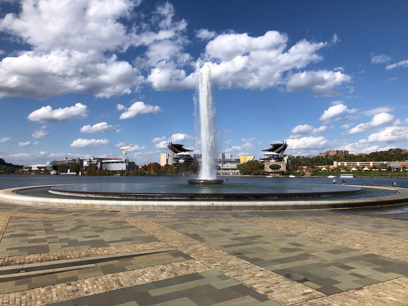
An impressive fountain sprays high into the sky at the point where the Monongahela and Allegheny rivers converge to form the Ohio River. The waters from the fountain come from yet a third river that runs underground to add its own effluence to la belle rivière. Here, at this historic confluence in Pittsburgh, Pennsylvania, is Mile 148.8 of the Great Allegheny Passage, the rail trail bicycle path which ends at Cumberland, Maryland.
A major site of the colonial wars between the French and English and their respective Native American allies for control of territory west of the Appalachian Mountains, the Point saw the French construct Fort Duquesne in 1754. When the English captured it in 1758, the name changed to that of the British statesman in charge of the war effort and became Fort Pitt. Today, Point State Park commemorates and interprets these historic events. And, as always, we are on the trail of history.
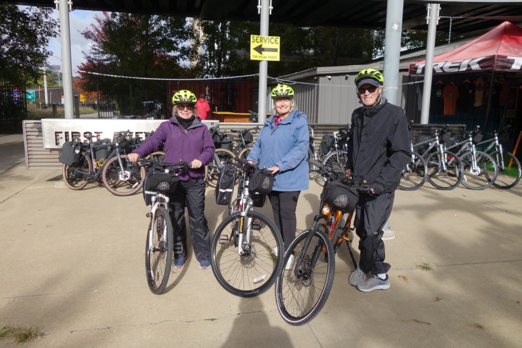
And so it is, that on a cold morning after celebratory fireworks had opened hockey season for the Penguins, we arrive at the bicycle rental shop to begin a five-day journey through the blazing fall colors of Western Pennsylvania on the former railbeds of the Baltimore and Ohio (B & 0), Western Maryland (WM), and the Pittsburgh and Lake Erie (P&LE) railroads. The crushed limestone path will take us along three rivers – the Monongahela, the Youghiogheny, and the Casselman – through four tunnels, over 12 impressive viaducts and bridges, and past dozens of farming and former coal and steel towns that have come to depend on the popular bicycle traffic to augment their economic base.
My cousin from Holland, Tanja, has flown west to meet us for the adventure, just as we have flown east. We have arranged to have our luggage transferred to our pre-arranged accommodations in four trail towns, so we will travel with only our needs for the day, which include layers of warm clothing. It’s cold, 39 degrees; but we expect it to warm up to 68.
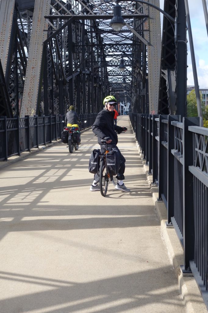
We mount our bikes, and the journey begins. We pedal east along the Eliza Furnace Trail, named for a series of blast furnaces that once occupied the banks of the Monongahela River, to cross over Hot Metal Bridge. This historic bridge was used to move hot iron from the blast furnaces on the north side of the river to the open hearths on the south side.
Homestead to West Newton
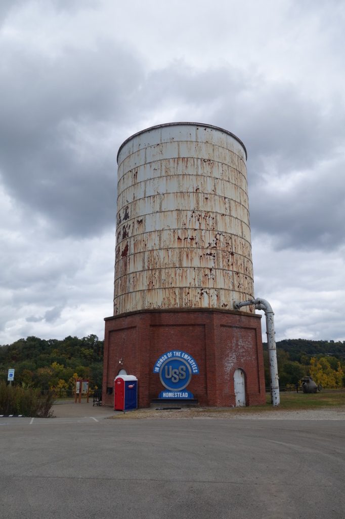
The next bit of history is only five miles away and we stop to take in the remains of the Homestead Steel Plant. It was here that one of the most violent strikes in American history took place. Henry Clay Frick, chairman and chief executive of Carnegie Steel, locked out striking workers who objected to a pay cut. Violence ensued when Frick called in 300 Pinkerton agents to protect strikebreakers he had hired. Over a dozen people were killed and others brutally beaten. Eventually the governor of Pennsylvania sent 8,500 National Guard forces to restore order. Today, a small park surrounding the old pump house of the former plant offers interpretive signs and beautiful views of the Monongahela River where an excursion boat peacefully makes its way up the tree-lined river.
We are traveling east so we are counting down the miles to zero. At mile 134, we cross the 1890 steel arch bridge to McKeesport. Here we leave the Monongahela and transfer to the route along the unpronounceable Youghiogheny River. The locals just call it the “Yawk.”
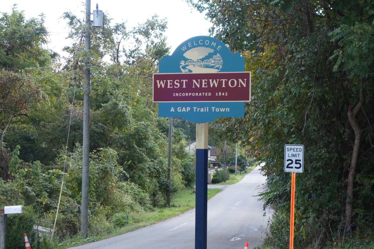
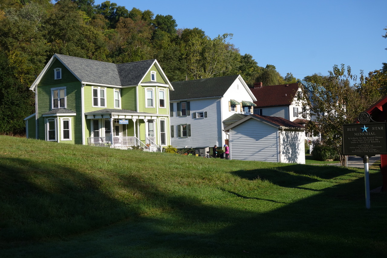
Along the Yough, the landscape becomes more peaceful and the towns less bustling. Glimpses of the river through the autumnal trees and the crunch of the limestone create a serene mood as we make our way past Boston, the Dravo Cemetery, and Buena Vista enroute to West Newton at mile 114.1. The town boasts a bike shop, bakery, restaurants, and a new distillery, but we are weary and head to our cozy and lovely accommodations in one of the Victorian houses that are part of the Bright Morning B & B complex.
West Newton to Ohiopyle
The next day’s ride takes us past the reconstructed West Newton train station and museum enroute to Connellsville, with its historic churches and an array of restaurants and lodging, many of which are closed this late in the season. We ride past evidence of the famous Connellsville Coalfield, where 1/9th of the country’s coal mining was taking place in 1910. At one time, over 40,000 beehive and rectangular ovens lit up Connellville’s sky with an orange/reddish glow.
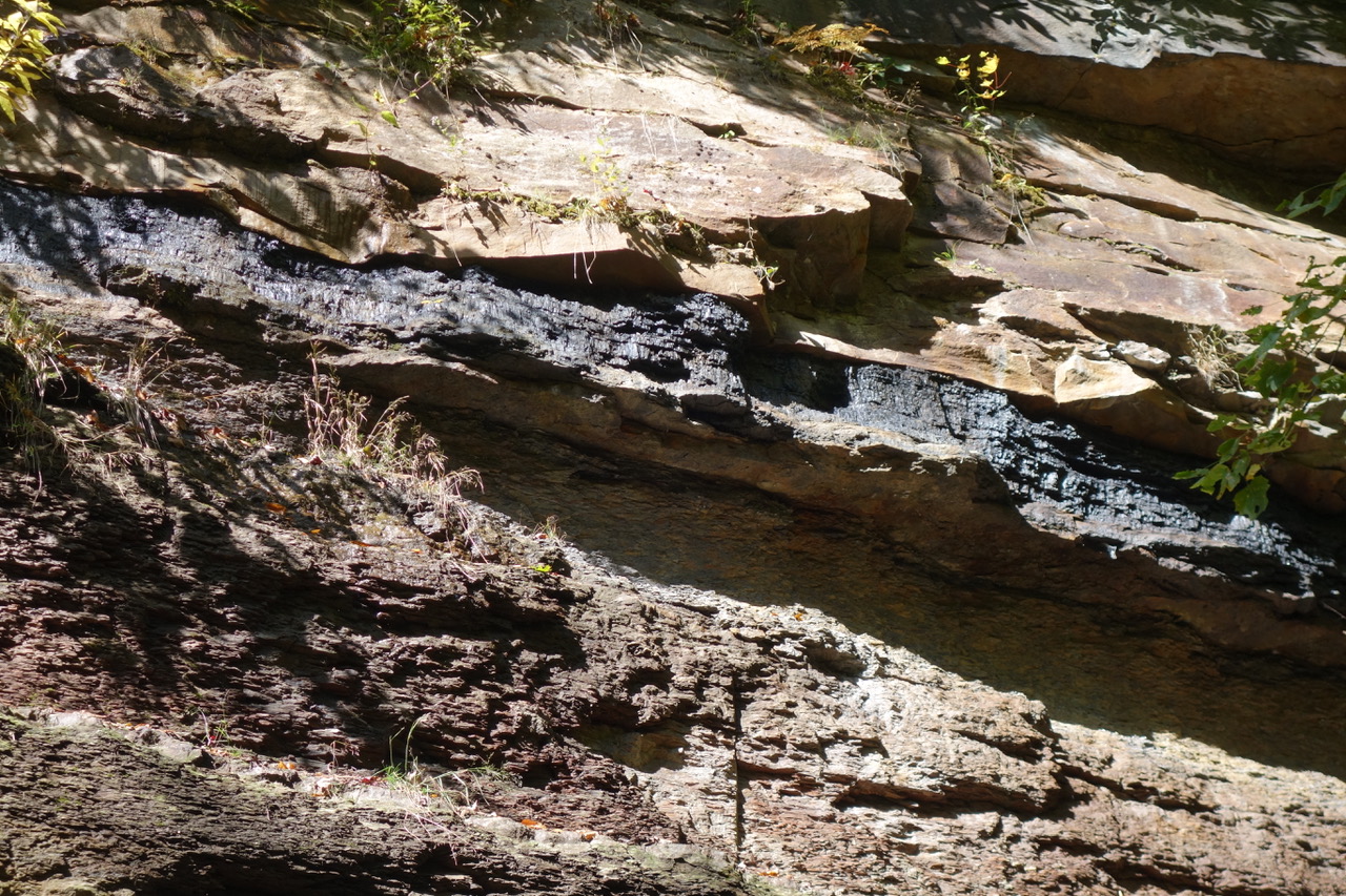
At the cuts made to accommodate the gentle grade necessary for the former rail bed, one can still see large seams of coal embedded in the rock. Coal mining being dangerous work, the worst mining disaster in Pennsylvania’s history took place nearby in Van Meter when 239 coal miners were killed in a massive explosion. As a result, the federal government was moved to create the U.S. Bureau of Mines to try to prevent these kinds of accidents.
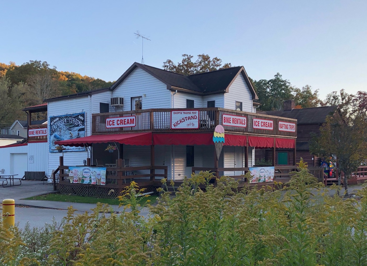
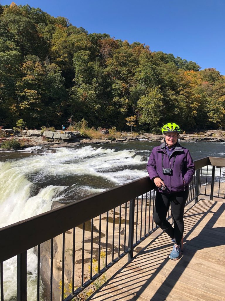
A short ride the following day takes us over two bridges before we reach the train station turned visitor’s center at Ohiopyle, formerly known as Falls City. It’s Columbus Day and the little resort town with its 20,633-acre State Park is packed with families. Ironically, a lot of places, like the visitor’s center and several restaurants, are closed. The area offers hiking trails and river rafting and glorious views of the cascades. The first 28 miles of the GAP were created here in 1978.
Ohiopyle to Meyersdale
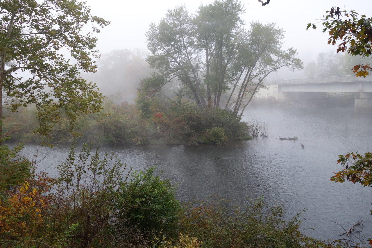
The next day, a cold, icy mist shrouds the little town, and the colorful, busy burg of yesterday is obscured in black and white. We have 42 miles to go to Meyersdale and I bow out. Though my Dutch cousin and husband are determined to ride the whole thing, I pay $22 for a shuttle for me and my bike to get to the next town where I imagine a cozy café and a warm cup of coffee and bran muffin await me at the River’s Edge Café and Bed and Breakfast in Confluence.
It is not to be. I find the café closed for the season. The nice young man who has driven me here, now drives me all around the town looking for a coffee place. It’s not a big town and we exhaust the possibilities quickly. Nothing for it but to wait for Tanja and Michael to emerge from the misty soup as I stand abandoned and shivering on the trail next to the very charming, but closed, Lucky Dog Café. A half hour later, they arrive, and I join them for the next 30 miles to Meyersdale (Mile 31.9), our last night on the trail before reaching Cumberland and Mile 0.
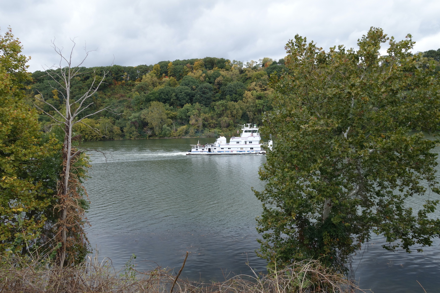
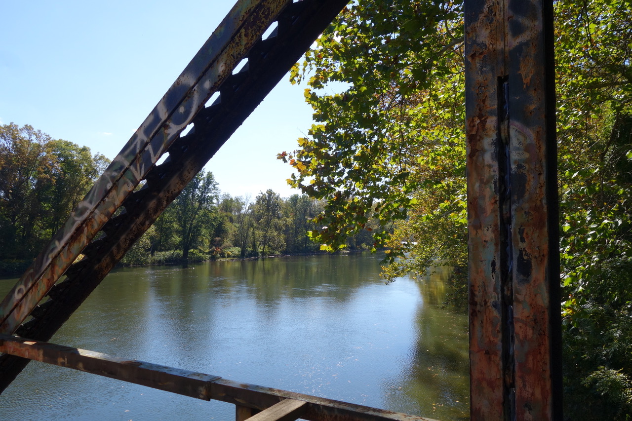
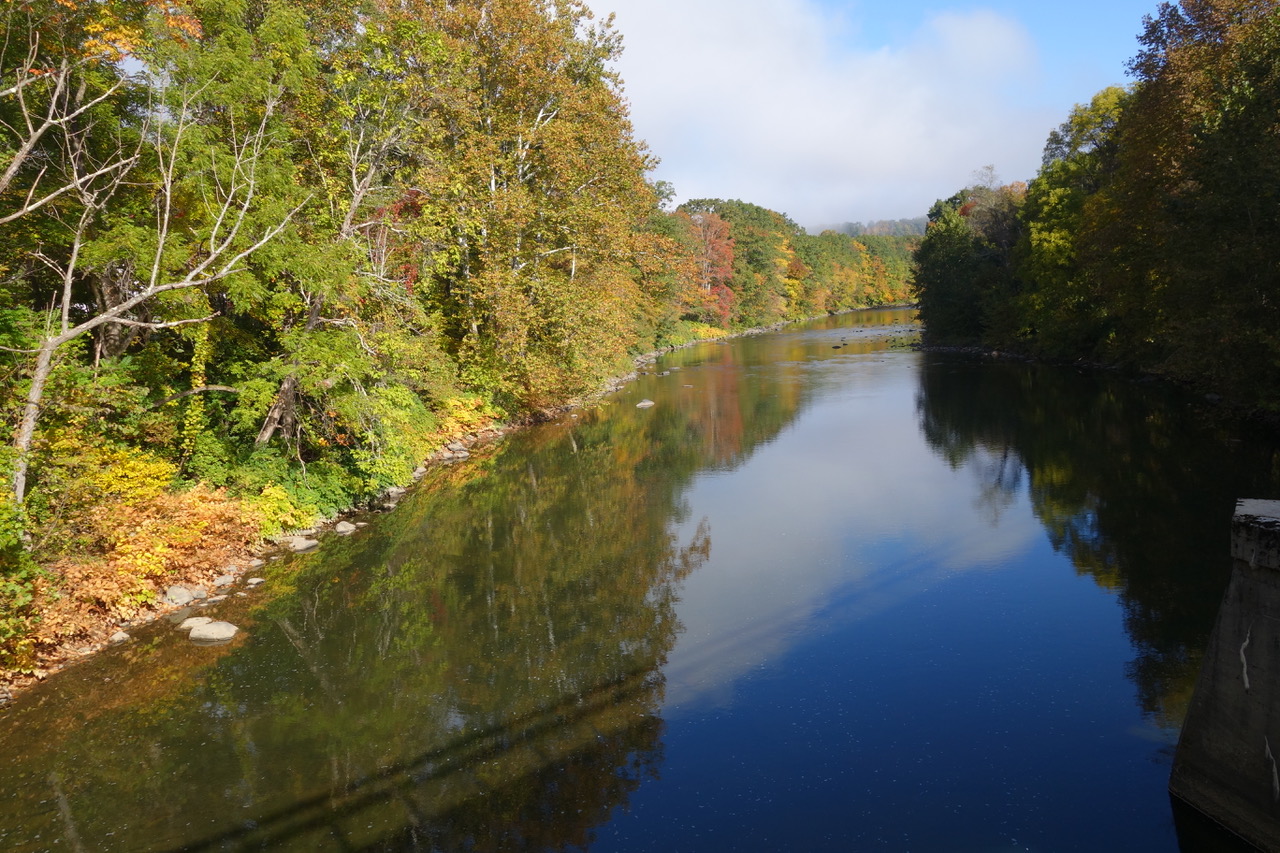
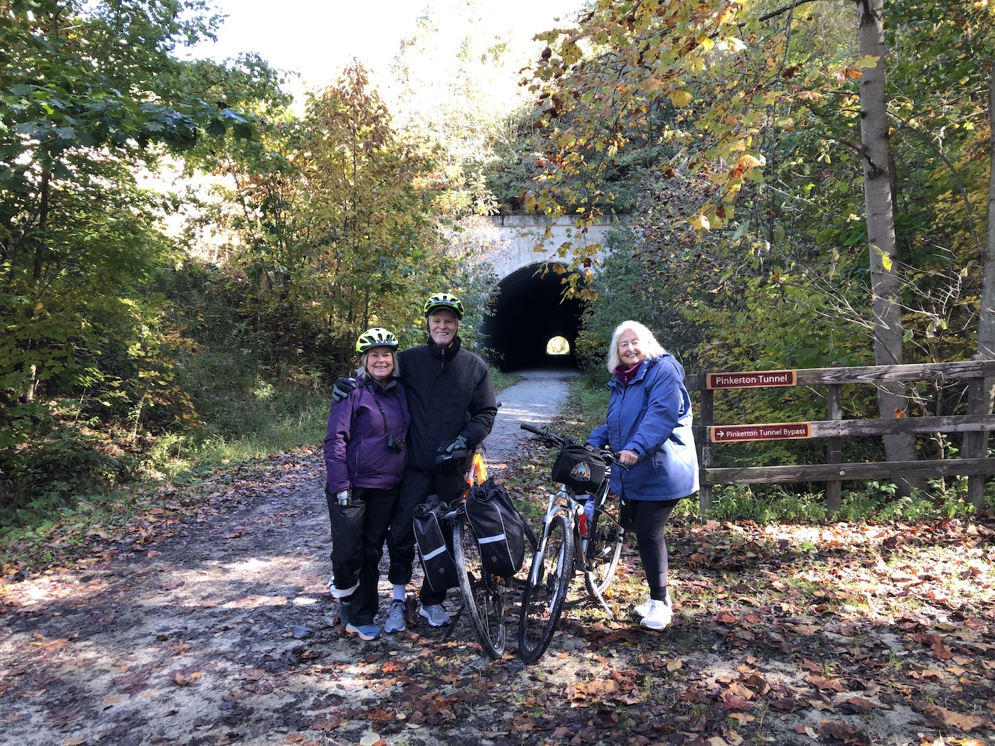
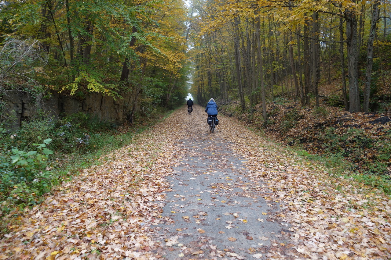
We are now riding along the Casselman River beneath and between the trees of the hardwood forest which has become increasing brilliant in tones of red, yellow, and orange. At times we ride through a shower of leaves and the crunch of the carpeted trail is audible. Crossing a peninsula created by the river, we traverse a bridge, pass through the Pinkerton Tunnel and cross another bridge over the river. Long abandoned, this tunnel was reopened for trail use in 2015. As we approach Meyersdale, we pass over the spectacular 1,908-feet-long Salisbury Viaduct before arriving at the train station in Meyersdale with its Western Maryland Railway Caboose.
For our last night on the trail, we had chosen the beautiful Gilded Age mansion of the Levi Deal Bed & Breakfast. Bicycle friendly, this elegant B&B offered a host of amenities from plush robes to fireplaces, beautiful furnishings, and commodious modern bathrooms. The common areas were gorgeous and inviting. Breakfast was a knockout. We were picked up for dinner by the husband of the owner of the White House Restaurant and delivered home after a wonderful meal. (Probably the best French onion soup I’ve ever had.)
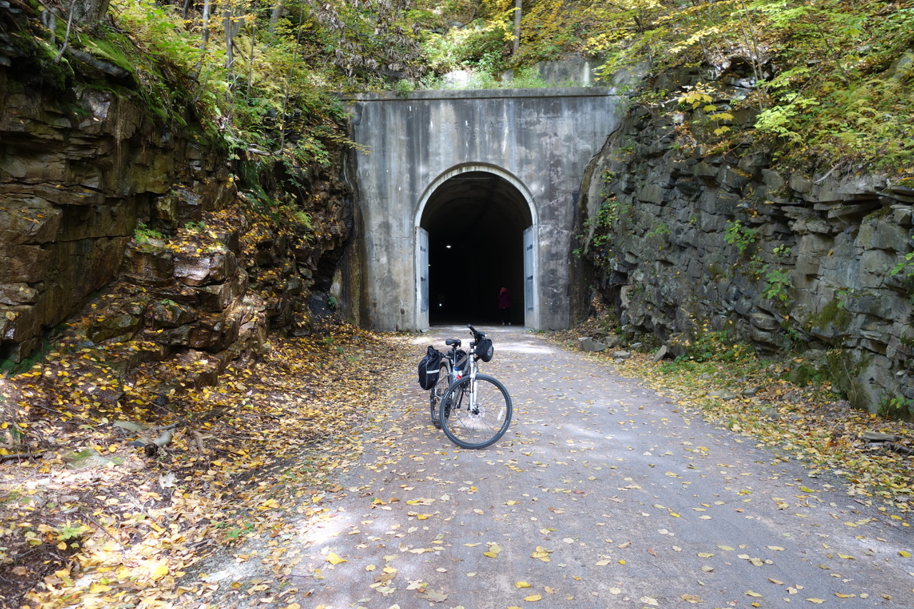
And then on the last day, after 8.2 more miles uphill, we reach the Eastern Continental Divide. Waters flowing west enter the Gulf of Mexico. Waters flowing east enter the Atlantic Ocean. A few miles farther, we enter the Big Savage Tunnel and the reason we were given lamps to light the way. The tunnel lives up to its name; it is 3,294 feet long. Abandoned in 1975, the Allegheny Trail Alliance worked to gather funds to renovate the tunnel, which was reopened in late 2003.
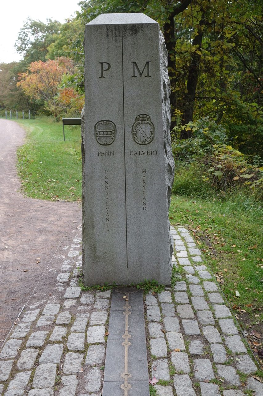
Two and a half miles later we reach the famous Mason-Dixon Line, the line which put to rest the violent border conflicts between settlers of Maryland and Pennsylvania. Named for the team of Charles Mason and Jeremiah Dixon, the line was surveyed between 1763 and 1767. In later years, it became known as the dividing line between slave states and free states.
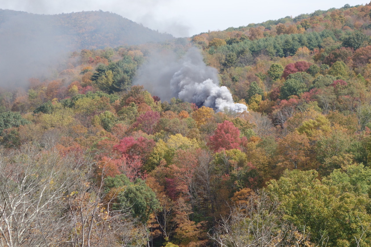
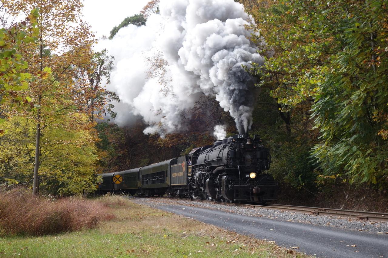
Since our shuttle is to pick us up in Cumberland at 2 pm, we must put “pedal to the metal,” or at least keep pedaling, but now, at least, it is all downhill. Unfortunately, we must rush past Frostburg, stopping only when we see what appears to be a fire breaking out on the hillside across the ravine from us. As the black smoke continues through the woods across the way, we realize it’s a steam train. It disappears from view and the next thing we know it has curved around and is now right next to us on the rail tracks we’ve been riding beside. It’s the excursion train from Cumberland heading for Frostburg.
We continue our rush down the mountain and will have dropped 1,772 feet by the time we reach Cumberland. Regardless, we barely make it in time to be greeted by our shuttle driver and settle in for the two-and-a-half-hour trip back to Pittsburgh. Our adventure has come to an abrupt end, but we are reminded of the great gift that rail trails are to the people of the United States and the communities which they serve.



You must be logged in to post a comment.